“Mare’s tails and mackerel scales / make lofty ships / to carry low sails.”
Old saying. Old sky wisdom.
It sticks around because it actually works.
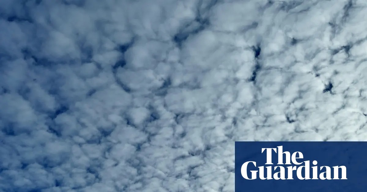
You’ve probably seen the clouds yourself. White, wispy, arranged in rows. Looks like a mackerel’s back. Or maybe thin, swept-back wisps that look like horse tails.
Those are warnings. Not suggestions. Warnings.
Mackerel skies are what we call cirrocumulus or altocumulus clouds. They form patchy, regular lines. The key? Texture and height.
Cirrocumulus are the high ones. Thin. White. If you hold out your hand at arm’s length, they fit narrower than a single finger. Altocumulus are thicker. Greier. Bigger. More like three fingers wide.
Then you have the tails.
Mare’s tails. Scientific name? Cirrus uncinus. Curly hooks.
They form way up high. Out of ice crystals. Dense head, like a comma, followed by faint trails blown back by wind.
Why the difference?
One comes from turbulence. The other? Wind speed variations at different heights dragging ice crystals into those long, ghostly plumes.
Both mean the same thing, though.
A warm front is coming. Or a low-pressure storm. The moisture is getting pushed up, up, up. The air is churning. The patterns change before the rain even starts.
So what do you do?
The saying isn’t just poetic fluff. It’s structural advice for boats.
See the tails? Lower the sails. Reduce the surface area. Strong winds are right behind that cloud formation. You get overbalanced, you get tossed.
It turns out the old sailors knew their atmosphere. They watched the sky, recognized the patterns, and reacted before the storm hit.
We don’t need to worry about capsizing our tall ships. We don’t carry sails anymore. We have barometers and phone apps. Doppler radar.
But the clouds don’t care about your technology.
The turbulence is still there. The front is still advancing.
You might still want to lower your umbrella.